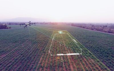
How to Choose the Best Mapping and Survey Technology for Your Large-Scale Mapping Project
If you are working on a large-scale mapping project, you have to choose the best mapping and survey technology, which can be tricky. Deciding on the most appropriate approach is very important. You should start by determining what accuracy is required for the project...
What is Highway Construction Surveying?
Highway surveys are a professional type of land survey during the planning phases of a road project. As-built surveys during the construction process will ensure that progress is made according to the design, and the highway is built exactly where it needs to be....
5 Ways That Drones Changed Land Surveying As We Know It
The use of drones has changed the land surveying industry as this advanced technology helps professionals in this field do their jobs more efficiently. Drones are viewed as useful tools, and this technology is being welcomed into this field because they are...
Types of Land Surveying & Their Purpose
The principles of mathematics, geometry, and other sciences measure human-made and natural features in a land survey. Land surveyors can use various tools to measure elevation, angles, and boundaries on a property. There are different types of land surveying, all of...
What Does A Land Surveyor Do & What Does It Take To Become One?
What Does A Land Surveyor Do? Land surveyors are able to complete a variety of tasks. This includes updating boundary lines and preparing sites for construction so that any legal disputes can be avoided. They can produce plots of surveys as well as describe the...
Five Reasons You Need A Land Surveyor
Not a lot is understood about surveying, despite the fact that it is one of the most important parts of any building process. The surveyor is the crucial link between design and construction and you might need a land surveyor for multiple reasons. Here are a few: You...
Drones Changing the Game for Topographic Surveying
Drone technology is taking topographic surveying to a whole new level by capturing detailed site maps at a fraction of the cost and time of traditional methods depending on the size of the site. For this reason, drones are becoming a very important component in a...
Building Location Certificates
A building location certificate is an official document prepared by a land surveyor and is also referred to as a mortgage or surveyor’s certificate. This document depicts the dimensions of the property and improvements along with registered charges such as easements,...
Becoming a BC Land Surveyor
If you are interested in becoming a BC land surveyor, you must first enter articles with a practising land surveyor who has been commissioned for a minimum of three years. All candidates will be required to complete articling for two years, which is the initial term...


